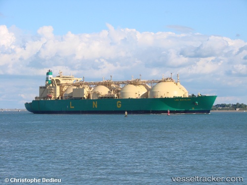
 FSU LNG CAP LOPEZ
Current Status
Where is the vessel?
FSU LNG CAP LOPEZ is currently in Near Dubai, based on AIS data received about 1d ago.
Latest AIS update:
Current position: 25.24735° N, 55.26266° E (Near Dubai)
Average speed (last 7 days): Loading…
Average speed (last 30 days): Loading…
Vessel profile: FSU LNG CAP LOPEZ is a Lng Tanker with dimensions m x m.
This page combines live AIS, route history, probable destination signals, nearby traffic, and port activity for practical vessel monitoring.
The current position of vessel FSU LNG CAP LOPEZ is 25.24735 lat / 55.26266 lng. Updated: 2026-05-18 03:40:43 UTCNearest reference points:
- Near Dubai
- Near DUBAI
- Near Free Port
Currently sailing under the flag of Saint Vincent and the Grenadines ![]()
Details:
Live Vessel FSU LNG CAP LOPEZ Analytics (details, animations, etc.)
Recent AIS points (UTC):
2026-05-18 03:40:43 UTC · 25.24735, 55.26266 · SOG 0 kn · COG 304°2026-05-18 03:40:43 UTC · 25.24735, 55.26266 · SOG 0 kn · COG 304°
2026-05-18 03:40:43 UTC · 25.24735, 55.26266 · SOG 0 kn · COG 304°
2026-05-18 03:40:43 UTC · 25.24735, 55.26266 · SOG 0 kn · COG 304°