 vesseltracker.com
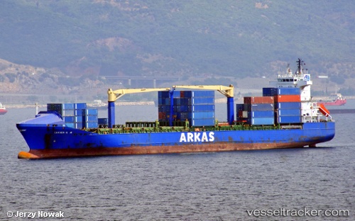
 Lucien G.a
Current Status
Where is the vessel?
Lucien G.a is currently in Near Palmela, based on AIS data received less than 1h ago.
Latest AIS update:
Current position: 38.51340° N, 8.87132° W (Near Palmela)
Average speed (last 7 days): Loading…
Average speed (last 30 days): Loading…
Vessel profile: Lucien G.a is a Container Ship with dimensions 155m x 155m.
This page combines live AIS, route history, probable destination signals, nearby traffic, and port activity for practical vessel monitoring.
The current position of vessel Lucien G.a is 38.51340 lat / -8.87132 lng. Updated: 2026-05-13 23:32:04 UTCNearest reference points:
- Near Palmela
- Near Sesimbra
- Near Lisboa
Currently sailing under the flag of Turkey ![]()
Lucien G.a built in 2002 year
Deadweight:
17290 tDetails:
Live Vessel Lucien G.a Analytics (details, animations, etc.)
Recent AIS points (UTC):
2026-05-13 19:38:03 UTC · 38.51337, -8.87129 · SOG 0 kn · COG 123°2026-05-13 22:08:02 UTC · 38.51338, -8.87126 · SOG 0 kn · COG 123°
2026-05-13 22:17:05 UTC · 38.51341, -8.87133 · SOG 0 kn · COG 123°
2026-05-13 23:32:04 UTC · 38.51340, -8.87132 · SOG 0 kn · COG 123°