 Horizon
Current Status
Where is the vessel?
Horizon is currently in 74 nm SE of Maspalomas, based on AIS data received about 14h ago.
Latest AIS update:
Current position: 26.68030° N, 14.89297° W (74 nm SE of Maspalomas)
Average speed (last 7 days): Loading…
Average speed (last 30 days): Loading…
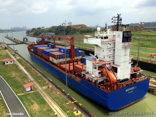
Vessel profile: Horizon is a Container Ship with dimensions m x m.
This page combines live AIS, route history, probable destination signals, nearby traffic, and port activity for practical vessel monitoring.
The current position of vessel Horizon is 26.68030 lat / -14.89297 lng. Updated: 2026-05-20 12:47:28 UTCNearest reference points:
- Near TALIARTE
- 33 nm SE of San Agustin
- Near Las Palmas de Gran Canaria
Currently sailing under the flag of Antigua Barbuda ![]()
Horizon built in 2002 year
Deadweight:
17187 tDetails:
Live Vessel Horizon Analytics (details, animations, etc.)
Recent AIS points (UTC):
2026-05-20 10:30:15 UTC · 27.05150, -14.56452 · SOG 12 kn · COG -1°2026-05-20 11:28:20 UTC · 26.89913, -14.70695 · SOG 12.3 kn · COG -1°
2026-05-20 12:38:27 UTC · 26.70489, -14.87123 · SOG 12.5 kn · COG -1°
2026-05-20 12:47:28 UTC · 26.68030, -14.89297 · SOG 12.5 kn · COG -1°