 OCEAN KARADENIZ
Current Status
Where is the vessel?
OCEAN KARADENIZ is currently in Near VULCANO, based on AIS data received about 118d ago.
Latest AIS update:
Current position: 38.37006° N, 15.10756° E (Near VULCANO)
Average speed (last 7 days): Loading…
Average speed (last 30 days): Loading…
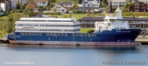
Vessel profile: OCEAN KARADENIZ is a Offshore Supply Ship with dimensions 19m x 90m.
This page combines live AIS, route history, probable destination signals, nearby traffic, and port activity for practical vessel monitoring.
The current position of vessel OCEAN KARADENIZ is 38.37006 lat / 15.10756 lng. Updated: 2026-01-21 14:13:26 UTCNearest reference points:
- Near Milazzo
- 13 nm N of Rometta Marea
- Near TREMESTIERI
Currently sailing under the flag of Liberia ![]()
OCEAN KARADENIZ built in 2003 year
Deadweight:
4500 tDetails:
Live Vessel OCEAN KARADENIZ Analytics (details, animations, etc.)
Recent AIS points (UTC):
2026-01-21 14:13:26 UTC · 38.37006, 15.10756 · SOG 0.7 kn · COG 205°