 GOODAL
Current Status
Where is the vessel?
GOODAL is currently in 378 nm E of El Maan, based on AIS data received about 16h ago.
Latest AIS update:
Current position: 1.82364° N, 51.88878° E (378 nm E of El Maan)
Average speed (last 7 days): Loading…
Average speed (last 30 days): Loading…
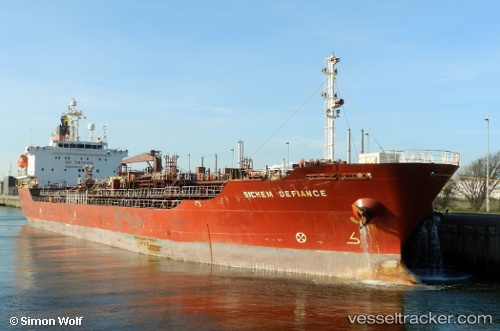
Vessel profile: GOODAL is a Oil/Chemical Tanker with dimensions m x m.
This page combines live AIS, route history, probable destination signals, nearby traffic, and port activity for practical vessel monitoring.
The current position of vessel GOODAL is 1.82364 lat / 51.88878 lng. Updated: 2026-05-19 19:38:52 UTCNearest reference points:
- Open sea, approx. 406 nm off the nearest listed port
- Open sea, approx. 411 nm off the nearest listed port
- Open sea, approx. 400 nm off the nearest listed port
Currently sailing under the flag of Bahamas ![]()
Details:
Live Vessel GOODAL Analytics (details, animations, etc.)
Recent AIS points (UTC):
2026-05-19 16:02:01 UTC · 2.32333, 52.24333 · SOG 10 kn · COG -1°2026-05-19 17:56:06 UTC · 2.05833, 52.05667 · SOG 10 kn · COG -1°
2026-05-19 19:35:02 UTC · 1.83167, 51.89500 · SOG 10 kn · COG -1°
2026-05-19 19:38:52 UTC · 1.82364, 51.88878 · SOG 10.1 kn · COG 215°