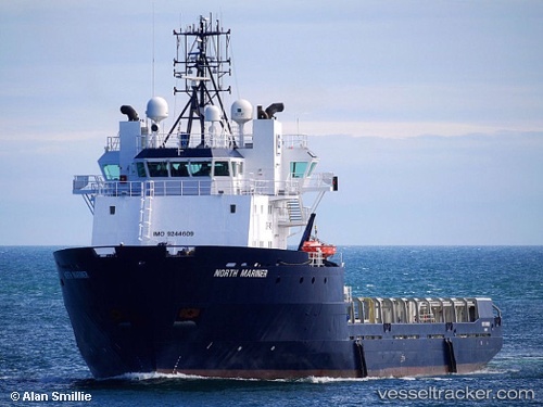
 SAR MARINER
Current Status
Where is the vessel?
SAR MARINER is currently in 15 nm NW of Sevastopol, based on AIS data received about 1d ago.
Latest AIS update:
Current position: 44.80132° N, 33.23835° E (15 nm NW of Sevastopol)
Average speed (last 7 days): Loading…
Average speed (last 30 days): Loading…
Vessel profile: SAR MARINER is a Offshore Supply Ship with dimensions m x m.
This page combines live AIS, route history, probable destination signals, nearby traffic, and port activity for practical vessel monitoring.
The current position of vessel SAR MARINER is 44.80132 lat / 33.23835 lng. Updated: 2026-06-22 01:45:12 UTCNearest reference points:
- Near Sevastopol
- Near Dorozhnoye
- 14 nm SW of Yalta
Currently sailing under the flag of Norway ![]()
Details:
Live Vessel SAR MARINER Analytics (details, animations, etc.)
Recent AIS points (UTC):
2026-06-22 01:45:12 UTC · 44.80132, 33.23835 · SOG 13.4 kn · COG 87°2026-06-22 01:45:12 UTC · 44.80132, 33.23835 · SOG 13.4 kn · COG 87°
2026-06-22 01:45:12 UTC · 44.80132, 33.23835 · SOG 13.4 kn · COG 87°
2026-06-22 01:45:12 UTC · 44.80132, 33.23835 · SOG 13.4 kn · COG 87°