 vesseltracker.com
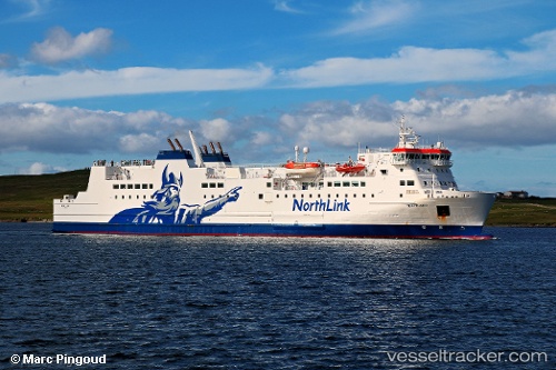
 Mv Hjaltland
Current Status
Where is the vessel?
Mv Hjaltland is currently in Near Boddam, based on AIS data received less than 1h ago.
Latest AIS update:
Current position: 57.40017° N, 1.71424° W (Near Boddam)
Average speed (last 7 days): Loading…
Average speed (last 30 days): Loading…
Vessel profile: Mv Hjaltland is a Passenger Ro Ro Cargo Ship with dimensions 125m x 19m.
This page combines live AIS, route history, probable destination signals, nearby traffic, and port activity for practical vessel monitoring.
The current position of vessel Mv Hjaltland is 57.40017 lat / -1.71424 lng. Updated: 2026-04-25 04:21:05 UTCNearest reference points:
- Near Peterhead
- Near PETERHEAD
- Near Aberdeen
Currently sailing under the flag of United Kingdom ![]()
Mv Hjaltland built in 2002 year
Deadweight:
1831 tDetails:
Live Vessel Mv Hjaltland Analytics (details, animations, etc.)
Recent AIS points (UTC):
2026-04-24 23:54:28 UTC · 58.77844, -2.50224 · SOG 21.4 kn · COG 158°2026-04-25 01:30:58 UTC · 58.24359, -2.10336 · SOG 21.6 kn · COG 157°
2026-04-25 01:33:58 UTC · 58.22697, -2.08977 · SOG 21.8 kn · COG 157°
2026-04-25 04:21:05 UTC · 57.40017, -1.71424 · SOG 16.7 kn · COG 212°