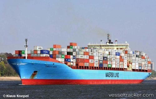
Charlotte Maersk
Current StatusWhere is the vessel?
Charlotte Maersk is currently in 178 nm N of Pulap Island, based on AIS data received about 14h ago.
Latest AIS update:
Current position: 10.53010° N, 149.04308° E (178 nm N of Pulap Island)
Average speed (last 7 days): Loading…
Average speed (last 30 days): Loading…
Vessel profile: Charlotte Maersk is a Container Ship with dimensions 43m x 347m.
This page combines live AIS, route history, probable destination signals, nearby traffic, and port activity for practical vessel monitoring.
The current position of vessel Charlotte Maersk is 10.53010 lat / 149.04308 lng. Updated: 2026-05-19 22:14:06 UTCNearest reference points:
- 169 nm N of Kairuku
Details:
Live Vessel Charlotte Maersk Analytics (details, animations, etc.)
Recent AIS points (UTC):
2026-05-19 18:27:38 UTC · 10.14667, 150.17833 · SOG 19 kn · COG -1°2026-05-19 19:22:51 UTC · 10.24684, 149.89870 · SOG 19.1 kn · COG 288°
2026-05-19 19:43:25 UTC · 10.28175, 149.79466 · SOG 18.9 kn · COG 288°
2026-05-19 22:14:06 UTC · 10.53010, 149.04308 · SOG 18.2 kn · COG 288°