 Allegro
Current Status
Where is the vessel?
Allegro is currently in 12 nm W of Matera, based on AIS data received about 15h ago.
Latest AIS update:
Current position: 40.65799° N, 13.33080° E (12 nm W of Matera)
Average speed (last 7 days): Loading…
Average speed (last 30 days): Loading…
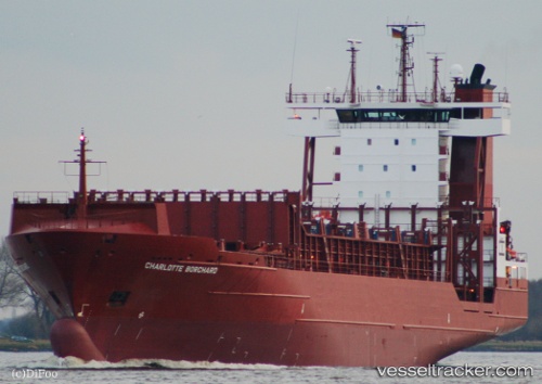
Vessel profile: Allegro is a Container Ship with dimensions 134m x 23m.
This page combines live AIS, route history, probable destination signals, nearby traffic, and port activity for practical vessel monitoring.
The current position of vessel Allegro is 40.65799 lat / 13.33080 lng. Updated: 2026-06-12 10:34:37 UTCNearest reference points:
- 16 nm S of Matera
- Near Gaeta
- Near Anacapri
Currently sailing under the flag of Antigua Barbuda ![]()
Allegro built in 2004 year
Deadweight:
11388 tDetails:
Live Vessel Allegro Analytics (details, animations, etc.)
Recent AIS points (UTC):
2026-06-12 07:36:36 UTC · 40.50518, 14.30405 · SOG 15.3 kn · COG 270°2026-06-12 07:52:30 UTC · 40.50482, 14.21440 · SOG 15.4 kn · COG 270°
2026-06-12 09:38:26 UTC · 40.60000, 13.64331 · SOG 15.5 kn · COG 284°
2026-06-12 10:34:37 UTC · 40.65799, 13.33080 · SOG 15.5 kn · COG 284°