 INDRI
INDRI
Current Status
Where is the vessel?
INDRI is currently in 81 nm W of Tusdeer Free Zone, based on AIS data received about 15h ago.
Latest AIS update:
Current position: 21.66127° N, 37.71787° E (81 nm W of Tusdeer Free Zone)
Average speed (last 7 days): Loading…
Average speed (last 30 days): Loading…
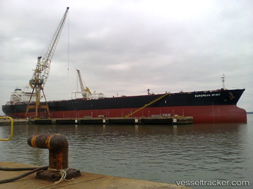
Vessel profile: INDRI is a Crude Oil Tanker with dimensions m x m.
This page combines live AIS, route history, probable destination signals, nearby traffic, and port activity for practical vessel monitoring.
The current position of vessel INDRI is 21.66127 lat / 37.71787 lng. Updated: 2026-06-12 09:26:31 UTCNearest reference points:
- 64 nm W of Tusdeer Free Zone
- 67 nm W of Tusdeer Free Zone
- 65 nm SW of King Abdullah City
Currently sailing under the flag of Sierra Leone ![]()
Details:
Live Vessel INDRI Analytics (details, animations, etc.)
Recent AIS points (UTC):
2026-06-12 05:46:12 UTC · 22.39853, 37.36812 · SOG 13.1 kn · COG 151°2026-06-12 07:30:35 UTC · 22.04982, 37.53962 · SOG 13.1 kn · COG 155°
2026-06-12 08:03:53 UTC · 21.93811, 37.59173 · SOG 13.1 kn · COG 156°
2026-06-12 09:26:31 UTC · 21.66127, 37.71787 · SOG 12.8 kn · COG 157°