 vesseltracker.com
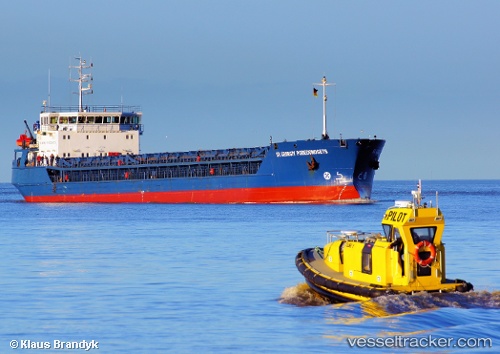
Sv.geor.pobedonosets
Current StatusWhere is the vessel?
Sv.geor.pobedonosets is currently in 14 nm NE of Aigiali Amorgou, based on AIS data received less than 1h ago.
Latest AIS update:
Current position: 37.09127° N, 26.12181° E (14 nm NE of Aigiali Amorgou)
Average speed (last 7 days): Loading…
Average speed (last 30 days): Loading…
Vessel profile: Sv.geor.pobedonosets is a General Cargo Ship with dimensions 16m x 128m.
This page combines live AIS, route history, probable destination signals, nearby traffic, and port activity for practical vessel monitoring.
The current position of vessel Sv.geor.pobedonosets is 37.09127 lat / 26.12181 lng. Updated: 2026-04-29 10:43:32 UTCNearest reference points:
- Near Aigiali Amorgou
- 18 nm SW of PATMOS
- Near PATMOS
Details:
Live Vessel Sv.geor.pobedonosets Analytics (details, animations, etc.)
Recent AIS points (UTC):
2026-04-29 07:20:03 UTC · 36.73282, 26.51189 · SOG 8.7 kn · COG 313°2026-04-29 07:39:22 UTC · 36.76320, 26.47036 · SOG 8.2 kn · COG 312°
2026-04-29 10:25:33 UTC · 37.05358, 26.14629 · SOG 8.5 kn · COG 334°
2026-04-29 10:43:32 UTC · 37.09127, 26.12181 · SOG 8.5 kn · COG 333°