 BLUE LAGOON I
Current Status
Where is the vessel?
BLUE LAGOON I is currently in 12 nm SE of VISAKHAPATNAM, based on AIS data received about 14h ago.
Latest AIS update:
Current position: 17.56817° N, 83.46867° E (12 nm SE of VISAKHAPATNAM)
Average speed (last 7 days): Loading…
Average speed (last 30 days): Loading…
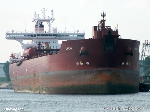
Vessel profile: BLUE LAGOON I is a Crude Oil Tanker with dimensions 277m x 46m.
This page combines live AIS, route history, probable destination signals, nearby traffic, and port activity for practical vessel monitoring.
The current position of vessel BLUE LAGOON I is 17.56817 lat / 83.46867 lng. Updated: 2026-06-03 10:59:06 UTCNearest reference points:
- Near Wipro Sez/Resapuvanipalem
- Near Vishakhapatnam
- Near Gopalpur
Currently sailing under the flag of Panama ![]()
BLUE LAGOON I built in 2003 year
Deadweight:
148553 tDetails:
Live Vessel BLUE LAGOON I Analytics (details, animations, etc.)
Recent AIS points (UTC):
2026-06-03 07:52:11 UTC · 17.56717, 83.46833 · SOG 0 kn · COG 289°2026-06-03 08:01:05 UTC · 17.56717, 83.46833 · SOG 0.1 kn · COG 287°
2026-06-03 10:02:43 UTC · 17.56883, 83.46867 · SOG 0.1 kn · COG 262°
2026-06-03 10:59:06 UTC · 17.56817, 83.46867 · SOG 0.1 kn · COG 280°