 CAPE MAYA
Current Status
Where is the vessel?
CAPE MAYA is currently in Near Ras Gharib, based on AIS data received about 15h ago.
Latest AIS update:
Current position: 28.42305° N, 33.17952° E (Near Ras Gharib)
Average speed (last 7 days): Loading…
Average speed (last 30 days): Loading…
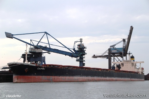
Vessel profile: CAPE MAYA is a Bulk Carrier with dimensions m x m.
This page combines live AIS, route history, probable destination signals, nearby traffic, and port activity for practical vessel monitoring.
The current position of vessel CAPE MAYA is 28.42305 lat / 33.17952 lng. Updated: 2026-05-21 00:11:23 UTCNearest reference points:
- Near Ras Gharib
- 19 nm SE of Zeit Bay
- Near El-Guna (El Gouna)
Currently sailing under the flag of Liberia ![]()
Details:
Live Vessel CAPE MAYA Analytics (details, animations, etc.)
Recent AIS points (UTC):
2026-05-20 22:15:43 UTC · 28.08971, 33.44757 · SOG 12.9 kn · COG 313°2026-05-21 00:11:23 UTC · 28.42305, 33.17952 · SOG 12.4 kn · COG 330°
2026-05-21 00:11:23 UTC · 28.42305, 33.17952 · SOG 12.4 kn · COG 330°
2026-05-21 00:11:23 UTC · 28.42305, 33.17952 · SOG 12.4 kn · COG 330°