 vesseltracker.com
 MIKATI
Current Status
Where is the vessel?
MIKATI is currently in 21 nm SW of Primorsk, based on AIS data received about 13h ago.
Latest AIS update:
Current position: 60.15113° N, 28.01863° E (21 nm SW of Primorsk)
Average speed (last 7 days): Loading…
Average speed (last 30 days): Loading…
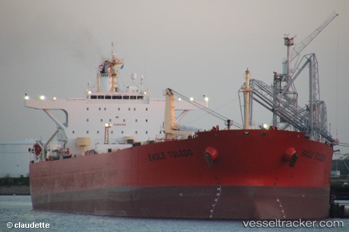
Vessel profile: MIKATI is a Crude Oil Tanker with dimensions 247m x 42m.
This page combines live AIS, route history, probable destination signals, nearby traffic, and port activity for practical vessel monitoring.
The current position of vessel MIKATI is 60.15113 lat / 28.01863 lng. Updated: 2026-05-13 06:05:28 UTCNearest reference points:
- Near VISTINO
- Near Ruch’I
- 27 nm S of Klamila
Currently sailing under the flag of Sierra Leone ![]()
MIKATI built in 2003 year
Deadweight:
107092 tDetails:
Live Vessel MIKATI Analytics (details, animations, etc.)
Recent AIS points (UTC):
2026-05-13 06:05:28 UTC · 60.15113, 28.01863 · SOG 6.9 kn · COG 103°2026-05-13 06:05:28 UTC · 60.15113, 28.01863 · SOG 6.9 kn · COG 103°
2026-05-13 06:05:28 UTC · 60.15113, 28.01863 · SOG 6.9 kn · COG 103°
2026-05-13 06:05:28 UTC · 60.15113, 28.01863 · SOG 6.9 kn · COG 103°