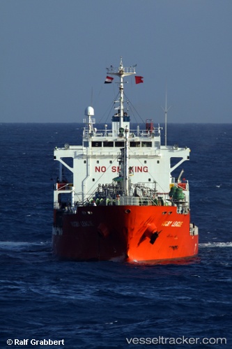
 GAZ AMARIS
Current Status
Where is the vessel?
GAZ AMARIS is currently in 16 nm SE of Puerto Palenque, based on AIS data received about 19h ago.
Latest AIS update:
Current position: 18.11450° N, 69.89629° W (16 nm SE of Puerto Palenque)
Average speed (last 7 days): Loading…
Average speed (last 30 days): Loading…
Vessel profile: GAZ AMARIS is a LPG Tanker with dimensions 19m x 119m.
This page combines live AIS, route history, probable destination signals, nearby traffic, and port activity for practical vessel monitoring.
The current position of vessel GAZ AMARIS is 18.11450 lat / -69.89629 lng. Updated: 2026-07-02 21:58:04 UTCNearest reference points:
- Near Bahia De Las Calderas
- Near CASA DE CAMPO
- 32 nm N of Punta Cana Apt
Currently sailing under the flag of Marshall Islands ![]()
GAZ AMARIS built in 2002 year
Deadweight:
7155 tDetails:
Live Vessel GAZ AMARIS Analytics (details, animations, etc.)
Recent AIS points (UTC):
2026-07-02 21:58:04 UTC · 18.11450, -69.89629 · SOG 10.6 kn · COG -1°2026-07-02 21:58:04 UTC · 18.11450, -69.89629 · SOG 10.6 kn · COG -1°
2026-07-02 21:58:04 UTC · 18.11450, -69.89629 · SOG 10.6 kn · COG -1°
2026-07-02 21:58:04 UTC · 18.11450, -69.89629 · SOG 10.6 kn · COG -1°