 VIVA GLOBUS
Current Status
Where is the vessel?
VIVA GLOBUS is currently in 138 nm W of JAIGAD, based on AIS data received about 20h ago.
Latest AIS update:
Current position: 17.10440° N, 70.82857° E (138 nm W of JAIGAD)
Average speed (last 7 days): Loading…
Average speed (last 30 days): Loading…
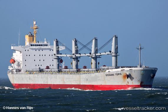
Vessel profile: VIVA GLOBUS is a Bulk Carrier with dimensions m x m.
This page combines live AIS, route history, probable destination signals, nearby traffic, and port activity for practical vessel monitoring.
The current position of vessel VIVA GLOBUS is 17.10440 lat / 70.82857 lng. Updated: 2026-05-20 09:28:11 UTCNearest reference points:
- 236 nm SW of Veraval
- 89 nm W of Marmagao (Marmugao)
- Near JAIGAD
Currently sailing under the flag of Panama ![]()
Details:
Live Vessel VIVA GLOBUS Analytics (details, animations, etc.)
Recent AIS points (UTC):
2026-05-20 09:28:11 UTC · 17.10440, 70.82857 · SOG 12.3 kn · COG 266°2026-05-20 09:28:11 UTC · 17.10440, 70.82857 · SOG 12.3 kn · COG 266°
2026-05-20 09:28:11 UTC · 17.10440, 70.82857 · SOG 12.3 kn · COG 266°
2026-05-20 09:28:11 UTC · 17.10440, 70.82857 · SOG 12.3 kn · COG 266°