 vesseltracker.com
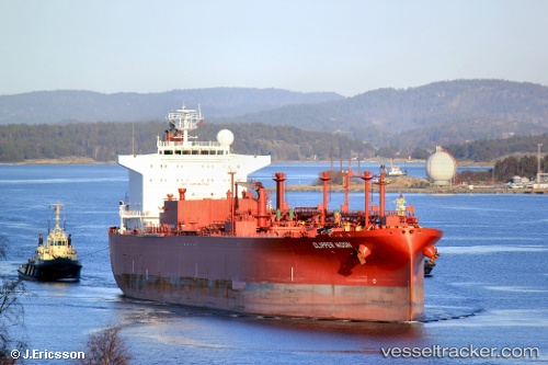
 PACIFIC MOON
Current Status
Where is the vessel?
PACIFIC MOON is currently in 26 nm N of Doraleh Container Terminal, based on AIS data received about 14h ago.
Latest AIS update:
Current position: 12.03548° N, 44.58516° E (26 nm N of Doraleh Container Terminal)
Average speed (last 7 days): Loading…
Average speed (last 30 days): Loading…
Vessel profile: PACIFIC MOON is a Lpg Tanker with dimensions m x m.
This page combines live AIS, route history, probable destination signals, nearby traffic, and port activity for practical vessel monitoring.
The current position of vessel PACIFIC MOON is 12.03548 lat / 44.58516 lng. Updated: 2026-05-18 14:01:35 UTCNearest reference points:
- Near Djibouti
Currently sailing under the flag of Barbados ![]()
Details:
Live Vessel PACIFIC MOON Analytics (details, animations, etc.)
Recent AIS points (UTC):
2026-05-18 10:29:25 UTC · 12.37940, 43.79198 · SOG 14.7 kn · COG 111°2026-05-18 12:04:31 UTC · 12.21767, 44.15507 · SOG 14.6 kn · COG 114°
2026-05-18 13:27:44 UTC · 12.07729, 44.46152 · SOG 13.1 kn · COG 97°
2026-05-18 14:01:35 UTC · 12.03548, 44.58516 · SOG 14.3 kn · COG 114°