 LAND MARK
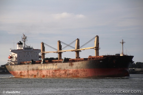
Current Status
Where is the vessel?
LAND MARK is currently in 53 nm W of King Abdullah City, based on AIS data received about 14h ago.
Latest AIS update:
Current position: 22.14214° N, 38.17997° E (53 nm W of King Abdullah City)
Average speed (last 7 days): Loading…
Average speed (last 30 days): Loading…
Vessel profile: LAND MARK is a Bulk Carrier with dimensions m x m.
This page combines live AIS, route history, probable destination signals, nearby traffic, and port activity for practical vessel monitoring.
The current position of vessel LAND MARK is 22.14214 lat / 38.17997 lng. Updated: 2026-05-19 13:20:21 UTCNearest reference points:
- 65 nm SW of King Abdullah City
- 67 nm W of Tusdeer Free Zone
- 64 nm W of Tusdeer Free Zone
Currently sailing under the flag of San Marino ![]()
Details:
Live Vessel LAND MARK Analytics (details, animations, etc.)
Recent AIS points (UTC):
2026-05-19 10:06:12 UTC · 22.12200, 38.17956 · SOG 0.3 kn · COG 248°2026-05-19 10:10:02 UTC · 22.12222, 38.17932 · SOG 0.3 kn · COG 250°
2026-05-19 11:57:31 UTC · 22.13286, 38.17703 · SOG 0.5 kn · COG 262°
2026-05-19 13:20:21 UTC · 22.14214, 38.17997 · SOG 0.4 kn · COG 254°