 SCALER
Current Status
Where is the vessel?
SCALER is currently in 171 nm W of Sebang, based on AIS data received about 14h ago.
Latest AIS update:
Current position: 6.23333° N, 92.46167° E (171 nm W of Sebang)
Average speed (last 7 days): Loading…
Average speed (last 30 days): Loading…
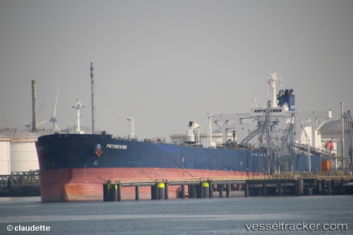
Vessel profile: SCALER is a Crude Oil Tanker with dimensions m x m.
This page combines live AIS, route history, probable destination signals, nearby traffic, and port activity for practical vessel monitoring.
The current position of vessel SCALER is 6.23333 lat / 92.46167 lng. Updated: 2026-05-21 04:57:47 UTCNearest reference points:
- 160 nm W of Sebang
- 172 nm W of LHOKNGA
- 80 nm W of Sebang
Currently sailing under the flag of Mozambique ![]()
Details:
Live Vessel SCALER Analytics (details, animations, etc.)
Recent AIS points (UTC):
2026-05-21 01:12:48 UTC · 6.24833, 93.07333 · SOG 9 kn · COG -1°2026-05-21 01:39:41 UTC · 6.24833, 93.00333 · SOG 9 kn · COG -1°
2026-05-21 03:45:45 UTC · 6.23500, 92.66333 · SOG 10 kn · COG -1°
2026-05-21 04:57:47 UTC · 6.23333, 92.46167 · SOG 10 kn · COG -1°