 ENERGY
Current Status
Where is the vessel?
ENERGY is currently in Near ROTTERDAM PERNIS, based on AIS data received about 15h ago.
Latest AIS update:
Current position: 51.88134° N, 4.40092° E (Near ROTTERDAM PERNIS)
Average speed (last 7 days): Loading…
Average speed (last 30 days): Loading…
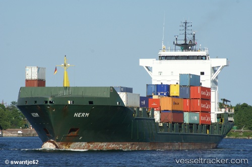
Vessel profile: ENERGY is a Container Ship with dimensions 135m x 21m.
This page combines live AIS, route history, probable destination signals, nearby traffic, and port activity for practical vessel monitoring.
The current position of vessel ENERGY is 51.88134 lat / 4.40092 lng. Updated: 2026-05-19 06:01:02 UTCNearest reference points:
- Near ROTTERDAM PERNIS
- Near Heijplaat
- Near ROTTERDAM WAALHAVEN
Currently sailing under the flag of Portugal (MAR) ![]()
ENERGY built in 2004 year
Deadweight:
9368 tDetails:
Live Vessel ENERGY Analytics (details, animations, etc.)
Recent AIS points (UTC):
2026-05-19 01:48:58 UTC · 51.88173, 4.40566 · SOG 0 kn · COG 263°2026-05-19 03:57:59 UTC · 51.88173, 4.40566 · SOG 0 kn · COG 262°
2026-05-19 04:13:01 UTC · 51.88173, 4.40567 · SOG 0 kn · COG 263°
2026-05-19 06:01:02 UTC · 51.88134, 4.40092 · SOG 0 kn · COG 262°