 SEGINUS
Current Status
Where is the vessel?
SEGINUS is currently in Near Port Raysut, based on AIS data received about 14h ago.
Latest AIS update:
Current position: 16.90925° N, 54.00385° E (Near Port Raysut)
Average speed (last 7 days): Loading…
Average speed (last 30 days): Loading…
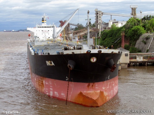
Vessel profile: SEGINUS is a Oil Products Tanker with dimensions m x m.
This page combines live AIS, route history, probable destination signals, nearby traffic, and port activity for practical vessel monitoring.
The current position of vessel SEGINUS is 16.90925 lat / 54.00385 lng. Updated: 2026-06-15 07:23:48 UTCNearest reference points:
- 103 nm S of Port Raysut
- 106 nm S of Port Raysut
- 110 nm NE of Gross Koris
Currently sailing under the flag of Cameroon ![]()
Details:
Live Vessel SEGINUS Analytics (details, animations, etc.)
Recent AIS points (UTC):
2026-06-15 04:37:07 UTC · 16.90933, 54.00372 · SOG 0 kn · COG -1°2026-06-15 05:27:18 UTC · 16.90928, 54.00377 · SOG 0.1 kn · COG -1°
2026-06-15 07:17:38 UTC · 16.90930, 54.00390 · SOG 0.1 kn · COG -1°
2026-06-15 07:23:48 UTC · 16.90925, 54.00385 · SOG 0 kn · COG -1°