 MSC PAXI II
Current Status
Where is the vessel?
MSC PAXI II is currently in 46 nm SE of Nagercoil, based on AIS data received about 14h ago.
Latest AIS update:
Current position: 7.64269° N, 77.98940° E (46 nm SE of Nagercoil)
Average speed (last 7 days): Loading…
Average speed (last 30 days): Loading…
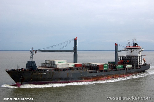
Vessel profile: MSC PAXI II is a Container Ship with dimensions m x m.
This page combines live AIS, route history, probable destination signals, nearby traffic, and port activity for practical vessel monitoring.
The current position of vessel MSC PAXI II is 7.64269 lat / 77.98940 lng. Updated: 2026-06-22 09:39:33 UTCNearest reference points:
- 41 nm S of Nagercoil
- 94 nm W of Dehiwala
- 98 nm S of Nagercoil
Currently sailing under the flag of Liberia ![]()
Details:
Live Vessel MSC PAXI II Analytics (details, animations, etc.)
Recent AIS points (UTC):
2026-06-22 06:20:01 UTC · 7.37360, 78.70106 · SOG 12.9 kn · COG 286°2026-06-22 07:28:08 UTC · 7.46027, 78.45716 · SOG 14 kn · COG 290°
2026-06-22 07:37:20 UTC · 7.47268, 78.42356 · SOG 14 kn · COG 290°
2026-06-22 09:39:33 UTC · 7.64269, 77.98940 · SOG 0.1 kn · COG 286°