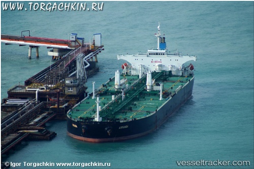
 ACHERON
Current Status
Where is the vessel?
ACHERON is currently in Near Skagens Odde, based on AIS data received about 15h ago.
Latest AIS update:
Current position: 57.70663° N, 10.89977° E (Near Skagens Odde)
Average speed (last 7 days): Loading…
Average speed (last 30 days): Loading…
Vessel profile: ACHERON is a Crude Oil Tanker with dimensions m x m.
This page combines live AIS, route history, probable destination signals, nearby traffic, and port activity for practical vessel monitoring.
The current position of vessel ACHERON is 57.70663 lat / 10.89977 lng. Updated: 2026-05-20 08:06:24 UTCNearest reference points:
- Near SKAGEN
- 19 nm E of Sæby
- Near Frederikshavn
Currently sailing under the flag of Barbados ![]()
Details:
Live Vessel ACHERON Analytics (details, animations, etc.)
Recent AIS points (UTC):
2026-05-20 04:43:26 UTC · 57.81257, 10.59687 · SOG 6.8 kn · COG 99°2026-05-20 06:06:15 UTC · 57.75728, 10.77295 · SOG 3.3 kn · COG 175°
2026-05-20 07:44:15 UTC · 57.73363, 10.83568 · SOG 6.7 kn · COG 138°
2026-05-20 08:06:24 UTC · 57.70663, 10.89977 · SOG 7.3 kn · COG 134°