 EDOR
EDOR
Current Status
Where is the vessel?
EDOR is currently in Near SHINAS, based on AIS data received about 14h ago.
Latest AIS update:
Current position: 24.72509° N, 56.52244° E (Near SHINAS)
Average speed (last 7 days): Loading…
Average speed (last 30 days): Loading…
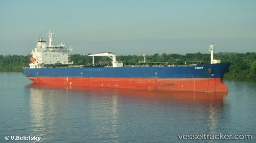
Vessel profile: EDOR is a Oil Products Tanker with dimensions m x m.
This page combines live AIS, route history, probable destination signals, nearby traffic, and port activity for practical vessel monitoring.
The current position of vessel EDOR is 24.72509 lat / 56.52244 lng. Updated: 2026-06-12 22:48:12 UTCNearest reference points:
- 17 nm SE of Shinas
- 18 nm SE of SHINAS
- Near Fujairah
Currently sailing under the flag of Marshall Islands ![]()
Details:
Live Vessel EDOR Analytics (details, animations, etc.)
Recent AIS points (UTC):
2026-06-12 19:30:15 UTC · 24.72478, 56.52157 · SOG 0 kn · COG 149°2026-06-12 20:03:15 UTC · 24.72484, 56.52174 · SOG 0 kn · COG 153°
2026-06-12 22:00:53 UTC · 24.72467, 56.52147 · SOG 0.1 kn · COG 145°
2026-06-12 22:48:12 UTC · 24.72509, 56.52244 · SOG 0 kn · COG 177°