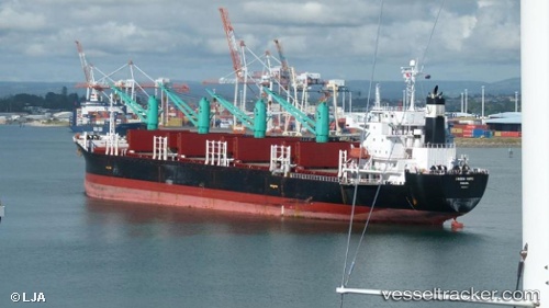
 CAPTAIN OSAMA
Current Status
Where is the vessel?
CAPTAIN OSAMA is currently in Near Ablogamé, based on AIS data received about 15h ago.
Latest AIS update:
Current position: 6.07614° N, 1.32026° E (Near Ablogamé)
Average speed (last 7 days): Loading…
Average speed (last 30 days): Loading…
Vessel profile: CAPTAIN OSAMA is a Bulk Carrier with dimensions m x m.
This page combines live AIS, route history, probable destination signals, nearby traffic, and port activity for practical vessel monitoring.
The current position of vessel CAPTAIN OSAMA is 6.07614 lat / 1.32026 lng. Updated: 2026-05-22 10:00:49 UTCNearest reference points:
- Near Ablogamé
- Near Cotonou
- Near Kirikiri
Currently sailing under the flag of Barbados ![]()
Details:
Live Vessel CAPTAIN OSAMA Analytics (details, animations, etc.)
Recent AIS points (UTC):
2026-05-22 07:09:49 UTC · 6.07669, 1.32002 · SOG 0.3 kn · COG 238°2026-05-22 08:12:49 UTC · 6.07650, 1.32010 · SOG 0.1 kn · COG 242°
2026-05-22 09:21:49 UTC · 6.07637, 1.32016 · SOG 0 kn · COG 244°
2026-05-22 10:00:49 UTC · 6.07614, 1.32026 · SOG 0.2 kn · COG 248°