 vesseltracker.com
 Utaki
Utaki
Current Status
Where is the vessel?
Utaki is currently in 14 nm NE of Viinistu Sadam, based on AIS data received less than 1h ago.
Latest AIS update:
Current position: 59.84418° N, 25.99336° E (14 nm NE of Viinistu Sadam)
Average speed (last 7 days): Loading…
Average speed (last 30 days): Loading…
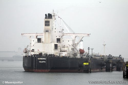
Vessel profile: Utaki is a Crude Oil Tanker with dimensions 241m x 42m.
This page combines live AIS, route history, probable destination signals, nearby traffic, and port activity for practical vessel monitoring.
The current position of vessel Utaki is 59.84418 lat / 25.99336 lng. Updated: 2026-04-24 19:58:44 UTCNearest reference points:
- 13 nm N of Viinistu Sadam
- Near Vessölandet
- Near Vuosaari (Nordsjö)
Currently sailing under the flag of Sierra leone ![]()
Utaki built in 2002 year
Deadweight:
104403 tDetails:
Live Vessel Utaki Analytics (details, animations, etc.)
Recent AIS points (UTC):
2026-04-24 16:25:41 UTC · 59.84649, 25.99423 · SOG 0.1 kn · COG 243°2026-04-24 17:19:51 UTC · 59.84690, 25.99367 · SOG 0 kn · COG 230°
2026-04-24 19:26:34 UTC · 59.84333, 25.99167 · SOG 0 kn · COG -1°
2026-04-24 19:58:44 UTC · 59.84418, 25.99336 · SOG 0.1 kn · COG 305°