 vesseltracker.com
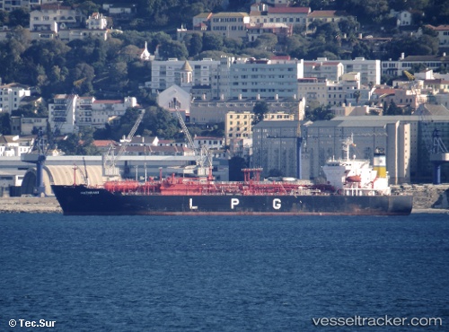
 PRIMA LAUTAN I
Current Status
Where is the vessel?
PRIMA LAUTAN I is currently in Near Semarang, based on AIS data received about 4d ago.
Latest AIS update:
Current position: 6.94155° S, 110.41977° E (Near Semarang)
Average speed (last 7 days): Loading…
Average speed (last 30 days): Loading…
Vessel profile: PRIMA LAUTAN I is a LPG Tanker with dimensions 25m x 156m.
This page combines live AIS, route history, probable destination signals, nearby traffic, and port activity for practical vessel monitoring.
The current position of vessel PRIMA LAUTAN I is -6.94155 lat / 110.41977 lng. Updated: 2026-04-12 23:58:10 UTCNearest reference points:
- Near Batang
- 26 nm N of Pemalang
- 49 nm NE of TANJUNG JATI
Currently sailing under the flag of Indonesia ![]()
PRIMA LAUTAN I built in 2003 year
Deadweight:
19621 tDetails:
Live Vessel PRIMA LAUTAN I Analytics (details, animations, etc.)
Recent AIS points (UTC):
2026-04-12 23:58:10 UTC · -6.94155, 110.41977 · SOG 0 kn · COG 5°2026-04-12 23:58:10 UTC · -6.94155, 110.41977 · SOG 0 kn · COG 5°
2026-04-12 23:58:10 UTC · -6.94155, 110.41977 · SOG 0 kn · COG 5°
2026-04-12 23:58:10 UTC · -6.94155, 110.41977 · SOG 0 kn · COG 5°