 ONYX O
Current Status
Where is the vessel?
ONYX O is currently in 60 nm NW of As Salif, based on AIS data received about 16h ago.
Latest AIS update:
Current position: 15.80320° N, 41.76718° E (60 nm NW of As Salif)
Average speed (last 7 days): Loading…
Average speed (last 30 days): Loading…
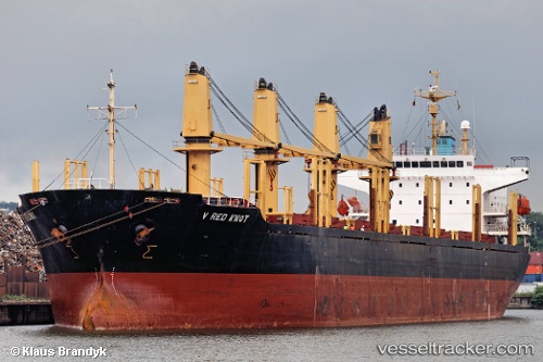
Vessel profile: ONYX O is a Bulk Carrier with dimensions m x m.
This page combines live AIS, route history, probable destination signals, nearby traffic, and port activity for practical vessel monitoring.
The current position of vessel ONYX O is 15.80320 lat / 41.76718 lng. Updated: 2026-05-19 19:35:21 UTCNearest reference points:
- 81 nm NW of As Salif
- 92 nm SW of Al Qahmah
- Near Jazan Economic City
Currently sailing under the flag of Saint Kitts and Nevis ![]()
Details:
Live Vessel ONYX O Analytics (details, animations, etc.)
Recent AIS points (UTC):
2026-05-19 15:35:59 UTC · 15.39667, 42.22833 · SOG 6 kn · COG -1°2026-05-19 17:52:17 UTC · 15.45688, 41.95540 · SOG 11.7 kn · COG 310°
2026-05-19 19:30:53 UTC · 15.78845, 41.77657 · SOG 13.9 kn · COG 329°
2026-05-19 19:35:21 UTC · 15.80320, 41.76718 · SOG 14 kn · COG 328°