 vesseltracker.com
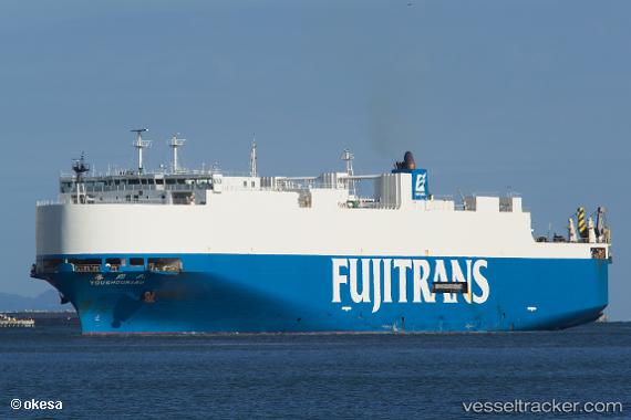
 Youshoumaru
Current Status
Where is the vessel?
Youshoumaru is currently in Near Nagoya, based on AIS data received less than 1h ago.
Latest AIS update:
Current position: 35.04547° N, 136.88145° E (Near Nagoya)
Average speed (last 7 days): Loading…
Average speed (last 30 days): Loading…
Vessel profile: Youshoumaru is a Vehicles Carrier with dimensions 167m x 28m.
This page combines live AIS, route history, probable destination signals, nearby traffic, and port activity for practical vessel monitoring.
The current position of vessel Youshoumaru is 35.04547 lat / 136.88145 lng. Updated: 2026-05-13 21:21:07 UTCNearest reference points:
- Near Nagoya
- Near Yokkaichi
- Near Kinuura
Currently sailing under the flag of Japan ![]()
Youshoumaru built in 2003 year
Deadweight:
6950 tDetails:
Live Vessel Youshoumaru Analytics (details, animations, etc.)
Recent AIS points (UTC):
2026-05-13 17:41:16 UTC · 34.51938, 137.46146 · SOG 20 kn · COG 268°2026-05-13 19:35:22 UTC · 34.72570, 136.82977 · SOG 22.1 kn · COG 329°
2026-05-13 20:00:04 UTC · 34.86364, 136.76968 · SOG 21.7 kn · COG 356°
2026-05-13 21:21:07 UTC · 35.04547, 136.88145 · SOG 0 kn · COG 270°