 MARSAL
Current Status
Where is the vessel?
MARSAL is currently in Near Kandla, based on AIS data received about 15h ago.
Latest AIS update:
Current position: 22.97738° N, 70.22938° E (Near Kandla)
Average speed (last 7 days): Loading…
Average speed (last 30 days): Loading…
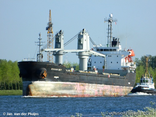
Vessel profile: MARSAL is a Bulk Carrier with dimensions m x m.
This page combines live AIS, route history, probable destination signals, nearby traffic, and port activity for practical vessel monitoring.
The current position of vessel MARSAL is 22.97738 lat / 70.22938 lng. Updated: 2026-05-20 11:38:04 UTCNearest reference points:
- Near Kandla
- Near Kandla-SEZ/Gandhidham
- 15 nm N of Rozi
Currently sailing under the flag of San Marino ![]()
Details:
Live Vessel MARSAL Analytics (details, animations, etc.)
Recent AIS points (UTC):
2026-05-20 07:50:02 UTC · 22.97735, 70.22939 · SOG 0 kn · COG 339°2026-05-20 10:15:15 UTC · 22.97738, 70.22939 · SOG 0 kn · COG -1°
2026-05-20 11:08:03 UTC · 22.97739, 70.22939 · SOG 0 kn · COG 339°
2026-05-20 11:38:04 UTC · 22.97738, 70.22938 · SOG 0 kn · COG 339°