 vesseltracker.com
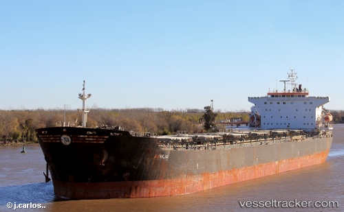
 SEAPOWER II
Current Status
Where is the vessel?
SEAPOWER II is currently in 13 nm SW of TANJUNG PELEPAS, based on AIS data received about 1d ago.
Latest AIS update:
Current position: 1.23039° N, 103.36168° E (13 nm SW of TANJUNG PELEPAS)
Average speed (last 7 days): Loading…
Average speed (last 30 days): Loading…
Vessel profile: SEAPOWER II is a Bulk Carrier with dimensions m x m.
This page combines live AIS, route history, probable destination signals, nearby traffic, and port activity for practical vessel monitoring.
The current position of vessel SEAPOWER II is 1.23039 lat / 103.36168 lng. Updated: 2026-04-10 08:09:02 UTCNearest reference points:
- Near Tanjungbalai
- 15 nm W of Tanjong Bin
- 19 nm W of Tanjong Bin
Currently sailing under the flag of Panama ![]()
Details:
Live Vessel SEAPOWER II Analytics (details, animations, etc.)
Recent AIS points (UTC):
2026-04-10 01:39:03 UTC · 1.89186, 102.26699 · SOG 11.3 kn · COG 118°2026-04-10 04:15:01 UTC · 1.67176, 102.71758 · SOG 11.7 kn · COG 117°
2026-04-10 05:57:21 UTC · 1.50177, 103.00760 · SOG 12 kn · COG 121°
2026-04-10 08:09:02 UTC · 1.23039, 103.36168 · SOG 12.5 kn · COG 130°