 Cape Aria
Current Status
Where is the vessel?
Cape Aria is currently in 209 nm SW of Lüderitz, based on AIS data received about 14h ago.
Latest AIS update:
Current position: 29.13553° S, 12.41262° E (209 nm SW of Lüderitz)
Average speed (last 7 days): Loading…
Average speed (last 30 days): Loading…
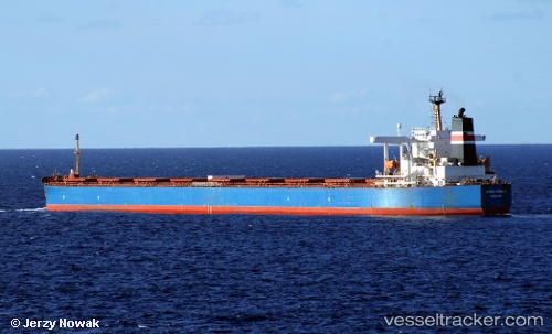
Vessel profile: Cape Aria is a Bulk Carrier with dimensions 289m x 45m.
This page combines live AIS, route history, probable destination signals, nearby traffic, and port activity for practical vessel monitoring.
The current position of vessel Cape Aria is -29.13553 lat / 12.41262 lng. Updated: 2026-05-20 16:17:54 UTCNearest reference points:
- 312 nm SW of Luderitz Bay
- 161 nm W of Koiingnaas
- 154 nm W of Koiingnaas
Currently sailing under the flag of Liberia ![]()
Cape Aria built in 2005 year
Deadweight:
176346 tDetails:
Live Vessel Cape Aria Analytics (details, animations, etc.)
Recent AIS points (UTC):
2026-05-20 13:20:17 UTC · -28.75952, 12.07260 · SOG 9.6 kn · COG 143°2026-05-20 13:50:26 UTC · -28.82480, 12.12918 · SOG 9.7 kn · COG 142°
2026-05-20 16:17:54 UTC · -29.13553, 12.41262 · SOG 9.8 kn · COG 140°
2026-05-20 16:17:54 UTC · -29.13553, 12.41262 · SOG 9.8 kn · COG 140°