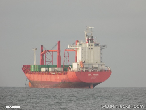
 SPIL NINGSIH
Current Status
Where is the vessel?
SPIL NINGSIH is currently in Near Olongapo, based on AIS data received about 14h ago.
Latest AIS update:
Current position: 14.80337° N, 120.26574° E (Near Olongapo)
Average speed (last 7 days): Loading…
Average speed (last 30 days): Loading…
Vessel profile: SPIL NINGSIH is a Container Ship with dimensions 30m x 208m.
This page combines live AIS, route history, probable destination signals, nearby traffic, and port activity for practical vessel monitoring.
The current position of vessel SPIL NINGSIH is 14.80337 lat / 120.26574 lng. Updated: 2026-05-29 09:51:06 UTCNearest reference points:
- 19 nm SW of MARIVELES
- Near Noveleta
- Near Malabon
Currently sailing under the flag of Panama ![]()
SPIL NINGSIH built in 2003 year
Deadweight:
33891 tDetails:
Live Vessel SPIL NINGSIH Analytics (details, animations, etc.)
Recent AIS points (UTC):
2026-05-29 06:05:00 UTC · 14.80333, 120.26500 · SOG 0 kn · COG -1°2026-05-29 07:45:06 UTC · 14.80335, 120.26582 · SOG 0 kn · COG 132°
2026-05-29 07:48:06 UTC · 14.80326, 120.26595 · SOG 0 kn · COG 132°
2026-05-29 09:51:06 UTC · 14.80337, 120.26574 · SOG 0 kn · COG 132°