 vesseltracker.com
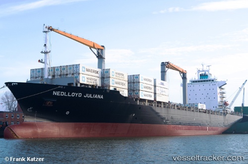
 Bomar Juliana
Current Status
Where is the vessel?
Bomar Juliana is currently in 26 nm W of West End, based on AIS data received less than 1h ago.
Latest AIS update:
Current position: 26.54712° N, 79.42581° W (26 nm W of West End)
Average speed (last 7 days): Loading…
Average speed (last 30 days): Loading…
Vessel profile: Bomar Juliana is a Container Ship with dimensions 210m x 30m.
This page combines live AIS, route history, probable destination signals, nearby traffic, and port activity for practical vessel monitoring.
The current position of vessel Bomar Juliana is 26.54712 lat / -79.42581 lng. Updated: 2026-05-15 05:44:29 UTCNearest reference points:
- Near Palm Beach
- Near Rivera Beach
- Near Lake Park
Currently sailing under the flag of Liberia ![]()
Bomar Juliana built in 2003 year
Deadweight:
34273 tDetails:
Live Vessel Bomar Juliana Analytics (details, animations, etc.)
Recent AIS points (UTC):
2026-05-14 23:32:50 UTC · 28.14095, -79.54614 · SOG 15.9 kn · COG 171°2026-05-15 03:56:54 UTC · 27.03177, -79.40358 · SOG 16.3 kn · COG 180°
2026-05-15 04:16:54 UTC · 26.94168, -79.40904 · SOG 16.3 kn · COG 180°
2026-05-15 05:44:29 UTC · 26.54712, -79.42581 · SOG 16.2 kn · COG 180°