 Cap Beatrice
Current Status
Where is the vessel?
Cap Beatrice is currently in 12 nm SW of Banting, based on AIS data received about 14h ago.
Latest AIS update:
Current position: 2.67652° N, 101.34647° E (12 nm SW of Banting)
Average speed (last 7 days): Loading…
Average speed (last 30 days): Loading…
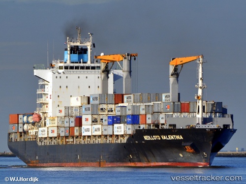
Vessel profile: Cap Beatrice is a Container Ship with dimensions 209m x 30m.
This page combines live AIS, route history, probable destination signals, nearby traffic, and port activity for practical vessel monitoring.
The current position of vessel Cap Beatrice is 2.67652 lat / 101.34647 lng. Updated: 2026-05-20 13:08:43 UTCNearest reference points:
- 14 nm SW of Banting
- 15 nm SW of Banting
- Near Carey Island Estate
Currently sailing under the flag of Liberia ![]()
Cap Beatrice built in 2004 year
Deadweight:
34317 tDetails:
Live Vessel Cap Beatrice Analytics (details, animations, etc.)
Recent AIS points (UTC):
2026-05-20 09:47:38 UTC · 2.14609, 102.04614 · SOG 17.5 kn · COG 316°2026-05-20 10:46:26 UTC · 2.31553, 101.82710 · SOG 16.4 kn · COG 307°
2026-05-20 12:12:39 UTC · 2.55249, 101.53749 · SOG 14.7 kn · COG 306°
2026-05-20 13:08:43 UTC · 2.67652, 101.34647 · SOG 14.4 kn · COG 300°