 ECHO
ECHO
Current Status
Where is the vessel?
ECHO is currently in 30 nm NE of Marsa Bashayer, based on AIS data received about 15h ago.
Latest AIS update:
Current position: 19.62026° N, 37.76456° E (30 nm NE of Marsa Bashayer)
Average speed (last 7 days): Loading…
Average speed (last 30 days): Loading…
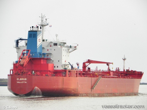
Vessel profile: ECHO is a Oil/Chemical Tanker with dimensions m x m.
This page combines live AIS, route history, probable destination signals, nearby traffic, and port activity for practical vessel monitoring.
The current position of vessel ECHO is 19.62026 lat / 37.76456 lng. Updated: 2026-05-20 10:18:21 UTCNearest reference points:
- Near Port Sudan
- 53 nm SW of SHUAIBAH
- 64 nm W of Tusdeer Free Zone
Currently sailing under the flag of Cameroon ![]()
Details:
Live Vessel ECHO Analytics (details, animations, etc.)
Recent AIS points (UTC):
2026-05-20 07:35:41 UTC · 19.62333, 37.75453 · SOG 0.5 kn · COG 46°2026-05-20 08:14:02 UTC · 19.62160, 37.75887 · SOG 0.4 kn · COG 50°
2026-05-20 10:14:41 UTC · 19.62022, 37.76445 · SOG 0.1 kn · COG 104°
2026-05-20 10:18:21 UTC · 19.62026, 37.76456 · SOG 0.1 kn · COG 107°