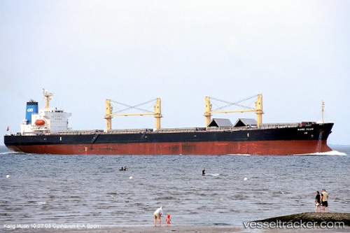
 KANG HUAN
Current Status
Where is the vessel?
KANG HUAN is currently in 88 nm NE of Gigmoto, Catanduanes, based on AIS data received about 16h ago.
Latest AIS update:
Current position: 15.03641° N, 125.15040° E (88 nm NE of Gigmoto, Catanduanes)
Average speed (last 7 days): Loading…
Average speed (last 30 days): Loading…
Vessel profile: KANG HUAN is a Bulk Carrier with dimensions 32m x 190m.
This page combines live AIS, route history, probable destination signals, nearby traffic, and port activity for practical vessel monitoring.
The current position of vessel KANG HUAN is 15.03641 lat / 125.15040 lng. Updated: 2026-06-03 09:16:44 UTCNearest reference points:
- 40 nm N of Gigmoto, Catanduanes
Currently sailing under the flag of China Peopless Republic ![]()
KANG HUAN built in 2004 year
Deadweight:
52810 tDetails:
Live Vessel KANG HUAN Analytics (details, animations, etc.)
Recent AIS points (UTC):
2026-06-03 09:16:44 UTC · 15.03641, 125.15040 · SOG 11.2 kn · COG 346°2026-06-03 09:16:44 UTC · 15.03641, 125.15040 · SOG 11.2 kn · COG 346°
2026-06-03 09:16:44 UTC · 15.03641, 125.15040 · SOG 11.2 kn · COG 346°
2026-06-03 09:16:44 UTC · 15.03641, 125.15040 · SOG 11.2 kn · COG 346°