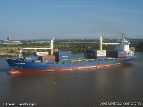
 Biendong Mariner
Current Status
Where is the vessel?
Biendong Mariner is currently in 74 nm SE of Thai Binh, based on AIS data received about 14h ago.
Latest AIS update:
Current position: 19.52508° N, 107.19345° E (74 nm SE of Thai Binh)
Average speed (last 7 days): Loading…
Average speed (last 30 days): Loading…
Vessel profile: Biendong Mariner is a Container Ship with dimensions 150m x 22m.
This page combines live AIS, route history, probable destination signals, nearby traffic, and port activity for practical vessel monitoring.
The current position of vessel Biendong Mariner is 19.52508 lat / 107.19345 lng. Updated: 2026-05-20 13:10:22 UTCNearest reference points:
- 60 nm NE of Son Duong Port
- 65 nm W of Basuo Pt
- 25 nm S of Nam Hai Dinh Vu Port
Currently sailing under the flag of Vietnam ![]()
Biendong Mariner built in 2004 year
Deadweight:
12474 tDetails:
Live Vessel Biendong Mariner Analytics (details, animations, etc.)
Recent AIS points (UTC):
2026-05-20 09:33:12 UTC · 18.92950, 107.39454 · SOG 11 kn · COG 344°2026-05-20 10:46:12 UTC · 19.14318, 107.34611 · SOG 10.5 kn · COG 338°
2026-05-20 12:10:21 UTC · 19.36025, 107.23339 · SOG 10.2 kn · COG 348°
2026-05-20 13:10:22 UTC · 19.52508, 107.19345 · SOG 9.9 kn · COG 348°