 MILAS
MILAS
Current Status
Where is the vessel?
MILAS is currently in 36 nm E of Scauri Alto, based on AIS data received about 14h ago.
Latest AIS update:
Current position: 36.81097° N, 12.70814° E (36 nm E of Scauri Alto)
Average speed (last 7 days): Loading…
Average speed (last 30 days): Loading…
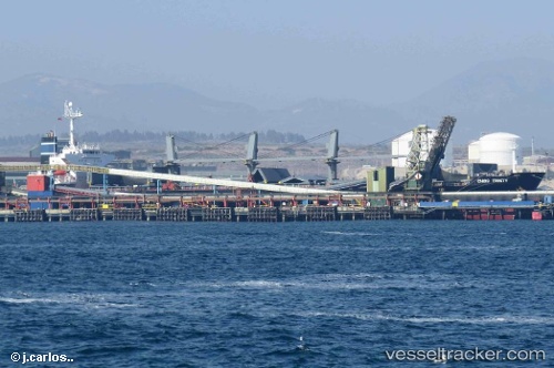
Vessel profile: MILAS is a Bulk Carrier with dimensions m x m.
This page combines live AIS, route history, probable destination signals, nearby traffic, and port activity for practical vessel monitoring.
The current position of vessel MILAS is 36.81097 lat / 12.70814 lng. Updated: 2026-07-04 01:23:28 UTCNearest reference points:
- Near MARSALA
- Near Licata
- Near Trapani
Currently sailing under the flag of Turkey ![]()
Details:
Live Vessel MILAS Analytics (details, animations, etc.)
Recent AIS points (UTC):
2026-07-03 21:55:59 UTC · 36.52538, 13.41745 · SOG 11 kn · COG 297°2026-07-03 22:15:09 UTC · 36.55274, 13.35199 · SOG 11.2 kn · COG 296°
2026-07-03 23:36:27 UTC · 36.66744, 13.07491 · SOG 11.1 kn · COG 295°
2026-07-04 01:23:28 UTC · 36.81097, 12.70814 · SOG 10.8 kn · COG 296°