 Starlight
Current Status
Where is the vessel?
Starlight is currently in 97 nm S of Manakara, based on AIS data received about 15h ago.
Latest AIS update:
Current position: 23.71956° S, 48.42727° E (97 nm S of Manakara)
Average speed (last 7 days): Loading…
Average speed (last 30 days): Loading…
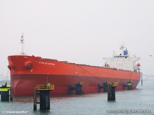
Vessel profile: Starlight is a Bulk Carrier with dimensions 225m x 32m.
This page combines live AIS, route history, probable destination signals, nearby traffic, and port activity for practical vessel monitoring.
The current position of vessel Starlight is -23.71956 lat / 48.42727 lng. Updated: 2026-05-20 12:06:30 UTCCurrently sailing under the flag of Cyprus ![]()
Starlight built in 2004 year
Deadweight:
75611 tDetails:
Live Vessel Starlight Analytics (details, animations, etc.)
Recent AIS points (UTC):
2026-05-20 08:02:15 UTC · -23.03612, 48.93218 · SOG 11.9 kn · COG 214°2026-05-20 09:23:11 UTC · -23.25643, 48.76203 · SOG 12.4 kn · COG 214°
2026-05-20 10:22:54 UTC · -23.42820, 48.63950 · SOG 12.2 kn · COG 212°
2026-05-20 12:06:30 UTC · -23.71956, 48.42727 · SOG 12.5 kn · COG 213°