 PRIMA PIONEER
Current Status
Where is the vessel?
PRIMA PIONEER is currently in 70 nm N of KENDARI, based on AIS data received about 14h ago.
Latest AIS update:
Current position: 2.85038° S, 122.25378° E (70 nm N of KENDARI)
Average speed (last 7 days): Loading…
Average speed (last 30 days): Loading…
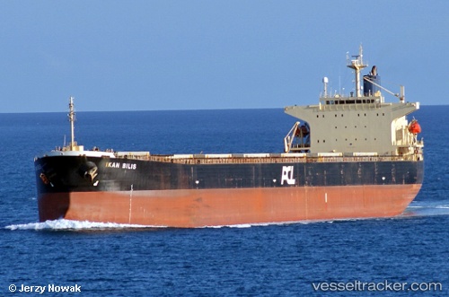
Vessel profile: PRIMA PIONEER is a Bulk Carrier with dimensions m x m.
This page combines live AIS, route history, probable destination signals, nearby traffic, and port activity for practical vessel monitoring.
The current position of vessel PRIMA PIONEER is -2.85038 lat / 122.25378 lng. Updated: 2026-05-20 15:49:56 UTCNearest reference points:
- 45 nm N of KENDARI
- 11 nm NW of KENDARI
- 22 nm S of Tangkiang
Currently sailing under the flag of Indonesia ![]()
Details:
Live Vessel PRIMA PIONEER Analytics (details, animations, etc.)
Recent AIS points (UTC):
2026-05-20 11:28:54 UTC · -2.85277, 122.25675 · SOG 0 kn · COG 319°2026-05-20 13:25:03 UTC · -2.85167, 122.25333 · SOG 0 kn · COG -1°
2026-05-20 14:04:55 UTC · -2.85098, 122.25390 · SOG 0.3 kn · COG 90°
2026-05-20 15:49:56 UTC · -2.85038, 122.25378 · SOG 0.1 kn · COG 105°