 MARANT
Current Status
Where is the vessel?
MARANT is currently in 56 nm SE of San Clodio, based on AIS data received about 15h ago.
Latest AIS update:
Current position: 47.77500° N, 6.36333° W (56 nm SE of San Clodio)
Average speed (last 7 days): Loading…
Average speed (last 30 days): Loading…
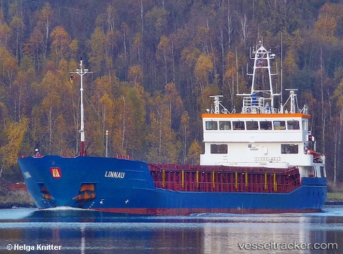
Vessel profile: MARANT is a General Cargo Ship with dimensions 88m x 88m.
This page combines live AIS, route history, probable destination signals, nearby traffic, and port activity for practical vessel monitoring.
The current position of vessel MARANT is 47.77500 lat / -6.36333 lng. Updated: 2026-05-21 04:09:22 UTCNearest reference points:
- 60 nm SE of San Clodio
- 46 nm W of SEIN
- 35 nm SW of Ile D’Ouessant
Currently sailing under the flag of Belgium ![]()
MARANT built in 2006 year
Deadweight:
3699 tDetails:
Live Vessel MARANT Analytics (details, animations, etc.)
Recent AIS points (UTC):
2026-05-21 00:54:22 UTC · 47.33333, -6.69833 · SOG 8 kn · COG -1°2026-05-21 01:48:21 UTC · 47.44667, -6.61333 · SOG 8 kn · COG -1°
2026-05-21 03:17:25 UTC · 47.64803, -6.46011 · SOG 9.4 kn · COG 35°
2026-05-21 04:09:22 UTC · 47.77500, -6.36333 · SOG 9 kn · COG -1°