 vesseltracker.com
 HAV NORDLANDIA
Current Status
Where is the vessel?
HAV NORDLANDIA is currently in Near Botnaneset - Flora, based on AIS data received about 15h ago.
Latest AIS update:
Current position: 61.66894° N, 4.97298° E (Near Botnaneset - Flora)
Average speed (last 7 days): Loading…
Average speed (last 30 days): Loading…
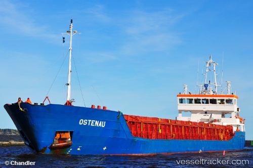
Vessel profile: HAV NORDLANDIA is a General Cargo Ship with dimensions 88m x 12m.
This page combines live AIS, route history, probable destination signals, nearby traffic, and port activity for practical vessel monitoring.
The current position of vessel HAV NORDLANDIA is 61.66894 lat / 4.97298 lng. Updated: 2026-05-18 11:53:44 UTCNearest reference points:
- Near MALOY
- Near RAUDEBERG
- Near Eikefjord
Currently sailing under the flag of Faroe Islands ![]()
HAV NORDLANDIA built in 2005 year
Deadweight:
3710 tDetails:
Live Vessel HAV NORDLANDIA Analytics (details, animations, etc.)
Recent AIS points (UTC):
2026-05-18 07:50:44 UTC · 61.66898, 4.97305 · SOG 0 kn · COG 149°2026-05-18 09:47:41 UTC · 61.66906, 4.97299 · SOG 0 kn · COG 150°
2026-05-18 10:44:45 UTC · 61.66905, 4.97323 · SOG 0 kn · COG 150°
2026-05-18 11:53:44 UTC · 61.66894, 4.97298 · SOG 0 kn · COG 150°