 LILA NORFOLK
Current Status
Where is the vessel?
LILA NORFOLK is currently in 50 nm W of Terempa, based on AIS data received about 14h ago.
Latest AIS update:
Current position: 3.30538° N, 105.38666° E (50 nm W of Terempa)
Average speed (last 7 days): Loading…
Average speed (last 30 days): Loading…
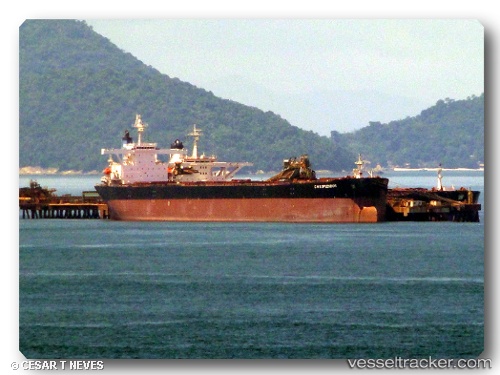
Vessel profile: LILA NORFOLK is a Bulk Carrier with dimensions m x m.
This page combines live AIS, route history, probable destination signals, nearby traffic, and port activity for practical vessel monitoring.
The current position of vessel LILA NORFOLK is 3.30538 lat / 105.38666 lng. Updated: 2026-05-21 23:10:55 UTCNearest reference points:
- 39 nm SE of Belida Terminal
- 26 nm E of Belida Terminal
- 30 nm SW of Belanak Terminal
Currently sailing under the flag of Liberia ![]()
Details:
Live Vessel LILA NORFOLK Analytics (details, animations, etc.)
Recent AIS points (UTC):
2026-05-21 19:20:34 UTC · 3.91404, 105.65953 · SOG 10.5 kn · COG 207°2026-05-21 19:25:36 UTC · 3.90059, 105.65339 · SOG 10.5 kn · COG 207°
2026-05-21 21:47:24 UTC · 3.52803, 105.48226 · SOG 10.3 kn · COG 205°
2026-05-21 23:10:55 UTC · 3.30538, 105.38666 · SOG 10.5 kn · COG 205°