 EADOW DXL
Current Status
Where is the vessel?
EADOW DXL is currently in Near King Abdullah, based on AIS data received about 15h ago.
Latest AIS update:
Current position: 22.52591° N, 39.09630° E (Near King Abdullah)
Average speed (last 7 days): Loading…
Average speed (last 30 days): Loading…
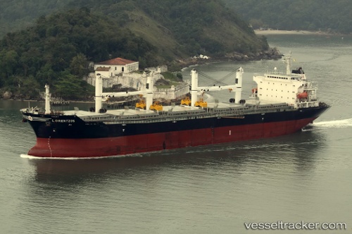
Vessel profile: EADOW DXL is a Bulk Carrier with dimensions m x m.
This page combines live AIS, route history, probable destination signals, nearby traffic, and port activity for practical vessel monitoring.
The current position of vessel EADOW DXL is 22.52591 lat / 39.09630 lng. Updated: 2026-06-12 09:25:40 UTCNearest reference points:
- Near King Abdullah
- Near Rabigh
- Near King Abdullah City
Currently sailing under the flag of Marshall Islands ![]()
Details:
Live Vessel EADOW DXL Analytics (details, animations, etc.)
Recent AIS points (UTC):
2026-06-12 05:45:04 UTC · 22.52588, 39.09634 · SOG 0.1 kn · COG 94°2026-06-12 07:29:01 UTC · 22.52587, 39.09631 · SOG 0.1 kn · COG -1°
2026-06-12 08:01:41 UTC · 22.52589, 39.09630 · SOG 0.1 kn · COG 91°
2026-06-12 09:25:40 UTC · 22.52591, 39.09630 · SOG 0 kn · COG 90°