 BAO TAI HAI
Current Status
Where is the vessel?
BAO TAI HAI is currently in Near COEGA, based on AIS data received about 14h ago.
Latest AIS update:
Current position: 33.79671° S, 25.68490° E (Near COEGA)
Average speed (last 7 days): Loading…
Average speed (last 30 days): Loading…
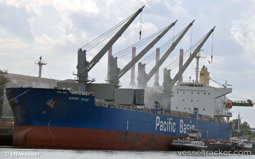
Vessel profile: BAO TAI HAI is a Bulk Carrier with dimensions m x m.
This page combines live AIS, route history, probable destination signals, nearby traffic, and port activity for practical vessel monitoring.
The current position of vessel BAO TAI HAI is -33.79671 lat / 25.68490 lng. Updated: 2026-05-24 20:00:53 UTCNearest reference points:
- Near Deal Party
- 21 nm S of Mount Pleasant
Currently sailing under the flag of Panama ![]()
Details:
Live Vessel BAO TAI HAI Analytics (details, animations, etc.)
Recent AIS points (UTC):
2026-05-24 16:27:51 UTC · -33.79671, 25.68489 · SOG 0 kn · COG 144°2026-05-24 18:15:50 UTC · -33.79671, 25.68490 · SOG 0 kn · COG 144°
2026-05-24 19:18:51 UTC · -33.79672, 25.68489 · SOG 0 kn · COG 144°
2026-05-24 20:00:53 UTC · -33.79671, 25.68490 · SOG 0 kn · COG 144°