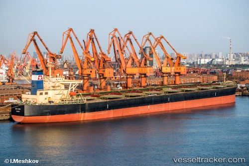
 SEA TAURUS
Current Status
Where is the vessel?
SEA TAURUS is currently in 28 nm W of Panjang, based on AIS data received about 5d ago.
Latest AIS update:
Current position: 6.60355° S, 104.86572° E (28 nm W of Panjang)
Average speed (last 7 days): Loading…
Average speed (last 30 days): Loading…
Vessel profile: SEA TAURUS is a Bulk Carrier with dimensions m x m.
This page combines live AIS, route history, probable destination signals, nearby traffic, and port activity for practical vessel monitoring.
The current position of vessel SEA TAURUS is -6.60355 lat / 104.86572 lng. Updated: 2026-05-15 07:46:59 UTCNearest reference points:
- 29 nm SW of Tarahan
- 28 nm SW of Tarahan
- Near BAKAUHENI
Currently sailing under the flag of Panama ![]()
Details:
Live Vessel SEA TAURUS Analytics (details, animations, etc.)
Recent AIS points (UTC):
2026-05-15 07:46:59 UTC · -6.60355, 104.86572 · SOG 8.7 kn · COG 58°2026-05-15 07:46:59 UTC · -6.60355, 104.86572 · SOG 8.7 kn · COG 58°
2026-05-15 07:46:59 UTC · -6.60355, 104.86572 · SOG 8.7 kn · COG 58°
2026-05-15 07:46:59 UTC · -6.60355, 104.86572 · SOG 8.7 kn · COG 58°