 Donousa
Current Status
Where is the vessel?
Donousa is currently in 121 nm SE of Recalada, based on AIS data received about 14h ago.
Latest AIS update:
Current position: 36.90333° S, 53.95333° W (121 nm SE of Recalada)
Average speed (last 7 days): Loading…
Average speed (last 30 days): Loading…
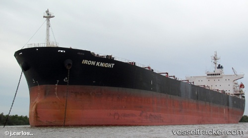
Vessel profile: Donousa is a Bulk Carrier with dimensions 225m x 225m.
This page combines live AIS, route history, probable destination signals, nearby traffic, and port activity for practical vessel monitoring.
The current position of vessel Donousa is -36.90333 lat / -53.95333 lng. Updated: 2026-05-22 04:30:13 UTCNearest reference points:
- 91 nm SE of Punta Medanos
- 75 nm SE of LA PALOMA
- 21 nm E of PUNTA DEL ESTE
Currently sailing under the flag of Liberia ![]()
Donousa built in 2004 year
Deadweight:
76429 tDetails:
Live Vessel Donousa Analytics (details, animations, etc.)
Recent AIS points (UTC):
2026-05-22 01:30:10 UTC · -37.13833, -54.52333 · SOG 10 kn · COG -1°2026-05-22 01:49:02 UTC · -37.11656, -54.46453 · SOG 10.1 kn · COG 65°
2026-05-22 04:07:57 UTC · -36.93760, -54.02186 · SOG 10.4 kn · COG 59°
2026-05-22 04:30:13 UTC · -36.90333, -53.95333 · SOG 10 kn · COG -1°