 NEXT
NEXT
Current Status
Where is the vessel?
NEXT is currently in Near Khambhaliya, based on AIS data received about 275d ago.
Latest AIS update:
Current position: 22.45108° N, 69.66928° E (Near Khambhaliya)
Average speed (last 7 days): Loading…
Average speed (last 30 days): Loading…
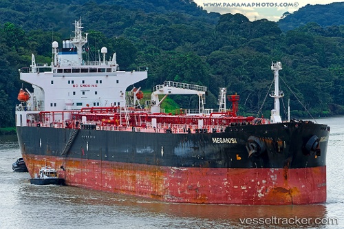
Vessel profile: NEXT is a Crude Oil Tanker with dimensions 228m x 33m.
This page combines live AIS, route history, probable destination signals, nearby traffic, and port activity for practical vessel monitoring.
The current position of vessel NEXT is 22.45108 lat / 69.66928 lng. Updated: 2025-08-20 10:43:59 UTCNearest reference points:
- Near SIKKA
- Near Sika
- Near Khambhaliya
Currently sailing under the flag of Guinea-Bissau ![]()
NEXT built in 2004 year
Deadweight:
72515 tDetails:
Live Vessel NEXT Analytics (details, animations, etc.)
Recent AIS points (UTC):
2025-08-20 10:43:59 UTC · 22.45108, 69.66928 · SOG 0 kn · COG 180°