 KEEGAN
Current Status
Where is the vessel?
KEEGAN is currently in 28 nm S of Kukdo, based on AIS data received about 14h ago.
Latest AIS update:
Current position: 34.08610° N, 128.29251° E (28 nm S of Kukdo)
Average speed (last 7 days): Loading…
Average speed (last 30 days): Loading…
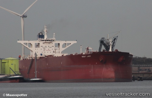
Vessel profile: KEEGAN is a Crude Oil Tanker with dimensions m x m.
This page combines live AIS, route history, probable destination signals, nearby traffic, and port activity for practical vessel monitoring.
The current position of vessel KEEGAN is 34.08610 lat / 128.29251 lng. Updated: 2026-05-20 01:47:15 UTCNearest reference points:
- 25 nm S of Kukdo
- 35 nm E of Geomundo
- 15 nm S of Kukdo
Currently sailing under the flag of Cameroon ![]()
Details:
Live Vessel KEEGAN Analytics (details, animations, etc.)
Recent AIS points (UTC):
2026-05-19 22:19:09 UTC · 34.08411, 128.27171 · SOG 0.3 kn · COG -1°2026-05-20 00:23:57 UTC · 34.08536, 128.28419 · SOG 0 kn · COG 84°
2026-05-20 01:22:12 UTC · 34.08593, 128.28999 · SOG 0.5 kn · COG 87°
2026-05-20 01:47:15 UTC · 34.08610, 128.29251 · SOG 0 kn · COG 85°